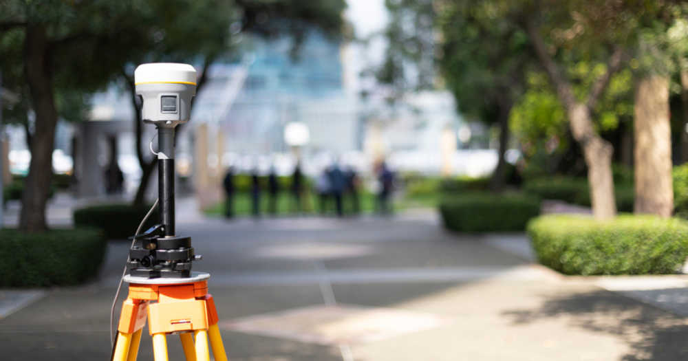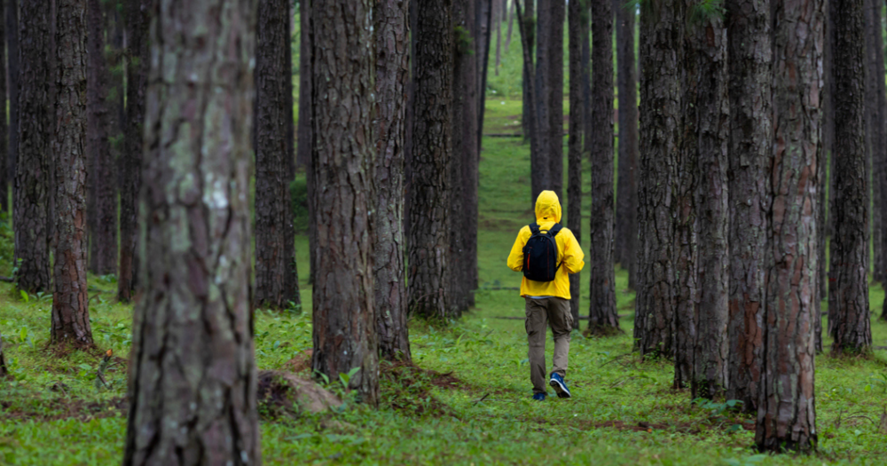
Land surveying can be challenging when using GPS in difficult environments like forests, urban areas, and places with unpredictable weather. Each setting presents unique obstacles that can affect GPS accuracy and signal strength. Adapting your approach is essential to achieving reliable results.
- Forested areas: Surveying forest areas is challenging because dense foliage and natural obstructions can weaken GPS signals. Thick tree canopies and underbrush make it difficult for satellite signals to reach GPS receivers consistently, leading to signal drops or less accurate readings.
- Urban canyons: Urban areas (or “urban canyons”) pose their own challenges due to tall buildings that create interference and block satellite signals. GPS signals bounce off surfaces like glass and metal, creating multipath errors.
- Extreme weather: Conditions like heavy rain, fog, extreme cold, or high temperatures affect both the GPS signal and the equipment’s performance. Heavy rain and fog can reduce satellite visibility, while extreme cold may cause GPS devices to malfunction or lose battery life more quickly.
Preparations for Challenging Land Surveying Environments
Here are some essential steps for preparing to conduct GPS land surveys in difficult terrains.
Conducting a Pre-Survey Assessment
A thorough pre-survey assessment helps identify landscape features, obstacles, and signal availability, allowing you to anticipate potential issues before they disrupt your survey.
Evaluate the area for dense foliage, tall buildings, or rough terrain that could interfere with GPS signals. If possible, visit the site beforehand to map out difficult sections and identify alternate paths.
An essential part of pre-survey assessment is checking that you have the right equipment for the environment. Here’s a checklist to help you prepare:
- Antenna type: Use multi-frequency or high-gain antennas designed for increased signal strength.
- Signal boosters: Consider carrying a signal booster if you anticipate poor satellite visibility. Boosters help improve GPS accuracy by stabilizing the signal in challenging locations.
- Power sources: Bring extra batteries or portable power packs. Access to power is limited in remote or rugged areas, so plan for long hours without recharging options.
Securing Reliable GPS and Safety Equipment
Rough or hazardous conditions call for specialized GPS and safety equipment to keep you safe and maintain survey accuracy.
- Ruggedized GPS devices: Look for ruggedized models that are water-resistant, shockproof, and equipped with extended battery life.
- Safety gear: Bring essentials such as sturdy boots, high-visibility vests, and a helmet, especially if you’re working near construction sites or in rocky, uneven landscapes. For surveys in dense forests or urban environments with heavy traffic, consider carrying two-way radios for reliable communication with team members.
- Weather protection: In environments with unpredictable weather, equip yourself with protective gear like waterproof jackets and cases for your electronics.
- Emergency supplies: When working in remote areas, pack a basic first-aid kit, a flashlight, and a GPS-enabled phone or device for emergencies. These items are crucial if you encounter unexpected conditions or delays in reaching your location.
For more about GPS land surveying equipment, read our following guides:
Tips for Surveying in Forested Areas

Thick foliage can weaken GPS signals in dense forests. To improve positioning in these conditions, try the following strategies.
- Find natural clearings: Position yourself in open spaces whenever possible to gain a stronger signal.
- Adjust antenna angles: Tilting your antenna at different angles helps reduce signal interference from tree canopies. Multi-frequency GNSS receivers are particularly useful here since they capture multiple signals and minimize the effect of obstructions.
- Adjust GPS settings: Modify your GPS settings to reduce signal drift and multipath errors. For example, setting your device to “static” mode can stabilize positioning when surveying stationary points. This is useful in areas where signals may reflect off nearby obstacles.
Incorporating Alternative Surveying Techniques
In some forested areas, relying solely on GPS may not provide the accuracy you need. Incorporating traditional tools can help.
- Compasses and lasers: In dense woods, a basic compass and laser rangefinders are indispensable for line-of-sight measurements when the GPS signal is limited. A laser rangefinder can provide distance measurements unaffected by foliage density, while a compass helps maintain orientation when GPS reliability drops.
Tips for Surveying in Urban Canyons
Tall buildings in urban areas can cause signals to bounce, leading to multipath errors. Here are several ways to minimize interference.
- Use higher-frequency GPS signals: Higher-frequency signals perform better in environments with signal obstructions like buildings. Devices with dual-frequency GNSS capabilities help reduce signal reflection issues.
- Strategic positioning: Avoid buildings whenever possible to limit blocked signals. Surveying early in the morning or late afternoon (when traffic and movement are reduced) can also help limit additional interference.
Using Supplementary Technology
For more accurate results in urban settings, integrating supplementary technologies is beneficial.
- GNSS receivers: High-precision GNSS receivers provide increased accuracy even in areas with obstructed signals. Combining GNSS data with total station measurements can further improve accuracy.
- Portable signal repeaters: Some surveyors use signal repeaters to boost satellite signal strength when surrounded by tall structures.
Tips for Surveying in Adverse Weather Conditions
Weather conditions can impact survey accuracy and safety, so it’s important to monitor forecasts and plan accordingly.
- Check the weather before each survey: Use a reliable weather app or tool to anticipate storms, heavy rain, or extreme temperatures. Planning around these events will help avoid challenges caused by adverse weather.
- Understand seasonal changes: Forest and urban settings have unique seasonal changes. Be aware of how rain, snow, and temperature shifts might affect visibility, signal strength, and terrain stability.
Read
Tips for Working Safely in the Rain for more information.
Bringing Accuracy to Every Environment
Successfully conducting GPS land surveys in challenging environments requires more than just technical skill. It demands careful preparation, an understanding of the unique obstacles in each setting, and the right equipment.
Check out Baseline Equipment Company today, where we provide the essential tools and gear to help surveyors confidently tackle these challenges.
Learn essential GPS land surveying tips for navigating challenging environments like dense forests, urban areas, and extreme weather.
