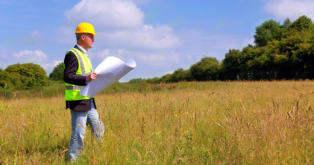
Many home building projects can put people at risk of accidentally trespassing. Projects such as putting up a fence or building a shed can easily spill onto a neighboring property. In these scenarios, property surveys can come in handy as a preventive measure.
Surveying is the science of locating specific points or objects on the surface of earth. Knowing the approximate boundaries of your property is helpful, but oftentimes approximations are not enough. Conducting a land survey will allow you to identify the exact boundary lines of your property, as determined by law.
Land surveys do require a cost upfront. Many people hire professional surveyors, who will charge a survey cost of several hundred dollars. Others conduct a land survey of their property by themselves. This option is cheaper, but there is still a cost to purchase any surveying equipment that is not already owned.
These costs, though, are pennies in comparison to what you might pay down the line if you do not do a land survey. Those who build carelessly are at risk of getting into property disputes. If you violate neighboring property lines, even by accident, your neighbors have the power to take you to court. If the lawsuit does not go your way, then you are looking at a payment in the thousands instead of the hundreds. For this reason, we recommend that you invest the time and resources to conduct a land survey before you run into legal trouble.
There are five scenarios when it is important to conduct a land survey.
There are two options you can take for your land survey. You can hire a professional land surveyor, or you can conduct a land survey by yourself.
Hiring a professional land surveyor is the more dependable option. Surveys that you conduct by yourself, or “amateur surveys”, cannot be used in court, as part of bank-required information in a property sale, or as a way to move existing property markers. For all these purposes, you would need a professional survey.
Professional land surveyors can also offer information you might not be able to find on your own. This could include gaps or overlaps in property lines with neighbors, easements, right-of-ways, rights to water features, rights to infrastructure or utilities, and relationships with your neighboring property.
Finally, you can count on professional land surveyors to be accurate. A small mistake in measurements could have big repercussions. For land surveyors, this is their full time job. They are less likely to make mistakes, or lack important tools that ensure accurate measurements.

The first step is to contact several land surveyors to get a cost estimate. Keep your deed at the ready as many land surveyors will not give an estimate without one. Once you have contacted several firms, you can weigh your options.
Note that land surveys are valid for up to ten years. Make sure that they have done their research and checked for any previous surveys done on your land. If some boundaries have already been determined, this might reduce the cost.
Once you have selected a company’s bid, you can sign a contract. Before signing, it is important to ensure there is a common understanding of how long the survey will take.
Finally, allow the company to complete the land survey. When they are finished, you should receive a signed certificate confirming that the survey has happened.
Despite the advantages to hiring the services of a professional land surveyor, many people have good reason to survey their land by themselves. If you are confident in your abilities, the reduction in cost might be worth it alone. Additionally, gathering the tools and gaining the knowledge necessary for property surveys grants you agency over the process. You can operate on your own timeline, conduct multiple property surveys, and likely use the tools for other purposes.
The three core considerations for a land survey are distances, angles, and elevation. In order to determine accurate records, you will need to account for these three variables.

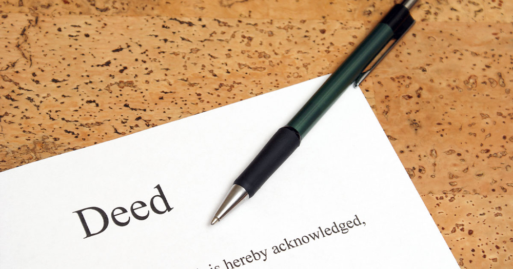
The deed is a document that grants legal title to the owner of a property. It should have a section called “legal description” that spells out the boundaries of your land. It can sometimes be hard to read, and can be written in one of two notations.
If the legal description is written in metes and bounds notation, then it will list a number that is to be added to the listed measurement (0 for NE, 90 for SE, 180 for SW, or 270 for NW). For example, 200 feet to S50W means that the next marker is 200 feet away at an angle of 230 degrees (50+180).
Alternatively, it might be written by the boundaries of the public land survey system (PLSS). This is a nearly 200 year old system that splits up the land into numbered sections.
Unlike the deed, the plat features a map with property lines and surrounding areas. It may be difficult to locate. Sometimes it is included with the deed. Other times, you may have to check your city or county records. If you cannot find one, then search instead for maps of surrounding properties. It should be easy to read, and sometimes includes useful information like coordinates.
Gathering the right equipment is critical to a good land survey. The equipment can influence important outcomes, such as the accuracy of the measurements, the length of time of the survey, and how protected from natural elements the surveyor remains. The following are some basic tools that will help you out along the way.
Getting the right tools is a vital step for any property survey. See the full selection of tools, and make sure you are set up for success before heading outside.
You will need a starting point to begin your process. To identify this location, you will need to refer to the legal description on your deed. The known corner will often be labeled in relation to a natural marker, such as a tree or road intersection. Remember that some markers, like rocks or fences, may have moved over the years and no longer be valid.
Alternately, you can use the PLSS coordinates and maps to locate a starting corner. Google Maps and USGS topographic maps are free resources that can assist with this method.
Once you have identified your corner, place a flag or post to mark the spot. From there, look back to your deed to identify where the next corner is. You will need to know the direction, distance, and elevation.
First, use your compass and theodolite to point yourself in the right direction. A theodolite is a tool that measures angles. It will come in handy here, where it can help you precisely determine the correct direction. Once you have determined that direction, you can take note of the direction that your compass is pointing.
From there, you can begin walking. Keep your tape measure grounded at the known corner. If you do not have a way to do this on your own, then find a friend to hold it in place. Keeping the compass out to ensure you are going in the right direction, walk the tape measure out until you have reached the listed distance.
Once you have reached the distance, place another flag or post to mark the second corner. It is important to note that if there are hills in the earth, the elevation will be different at each corner. This will obscure the distance. Use the level to check the elevation in each corner, and measure again keeping the tape measure held evenly if necessary.
Continue this process for the rest of the corners. It can be helpful to mark the property line as you go, using a rope or more flags. This can help retrace your steps, and gather a better sense of the entire property.
Any property owner that is building structures located near a property line should be careful of overstepping. Land surveys are the only way to be certain you are aware of the exact boundaries as outlined by the law.
You can either hire a professional land surveyor or conduct the land survey by yourself. For those that need to acquire the right tools, Baseline Equipment has you covered with a large, diverse selection. Failing to purchase land survey materials today might cost you down the line, so take a look at the selection today.